Dual-LiDAR Fusion SLAM
Fused point cloud data from dual LiDARs to accelerate SLAM performance in QRC 2025.
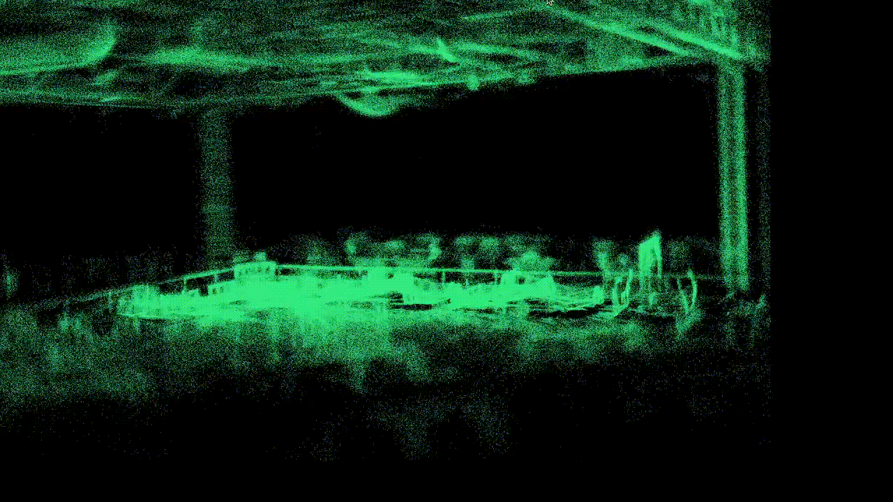
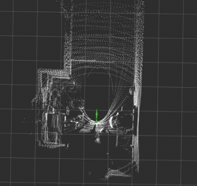
The system configuration is shown in the left image. The dual-LiDAR setup provides 315° coverage and reduces 65% mapping time compared to single LiDAR, enabling fast, single-pass mapping in dynamic environments of QRC 2025. The real-time fused point cloud is shown on the right.

During the competition, I was responsible for mapping various terrains, including all six shown here.

Taking the sand and gravel as an example, the terrain and scanned map are shown below.


Since the raw scanning data is usually noisy, filtering is required to remove outliers. Then, the filtered map is converted into a height map, allowing the robot to plan and navigate using feasible trajectories.

Here are other mapping results for consecutive terrains.


Limitations and Future Work
Although the robot can generate feasible trajectories, localization instability leads to drift and subsequent navigation failure. This primarily arises from the limited ceiling features and the dynamic stadium environment, which challenge conventional LiDAR-based localization. In such settings, upward-facing LiDAR provides limited benefit, motivating future exploration of alternative sensing configurations and localization methods.